Most people know they need a land survey, but very few know what actually happens once they hire one. A surveyor does not just show up with a measuring tape and walk around the yard. The process involves careful research, precise field measurements, and detailed office work before you ever receive a finished document.
Here is a clear, step-by-step look at what happens during a land survey from start to finish.
Step 1: The Research Phase
Before a surveyor sets foot on your property, they spend time doing research. This is one of the most important parts of the process, and it often takes longer than the field visit.
What the Surveyor Is Looking For
The surveyor gathers documents related to your property, including:
- Your property deed and legal description
- Previously recorded surveys of your property
- Deeds and surveys of neighboring properties
- Recorded plat maps for your subdivision
- County records, tax maps, and right-of-way documents
Why Research Matters
Every piece of land has a history. Boundaries may have been set decades or centuries ago using older measurement systems. If the surveyor skips this phase, they risk missing information that could affect the accuracy of the final result.
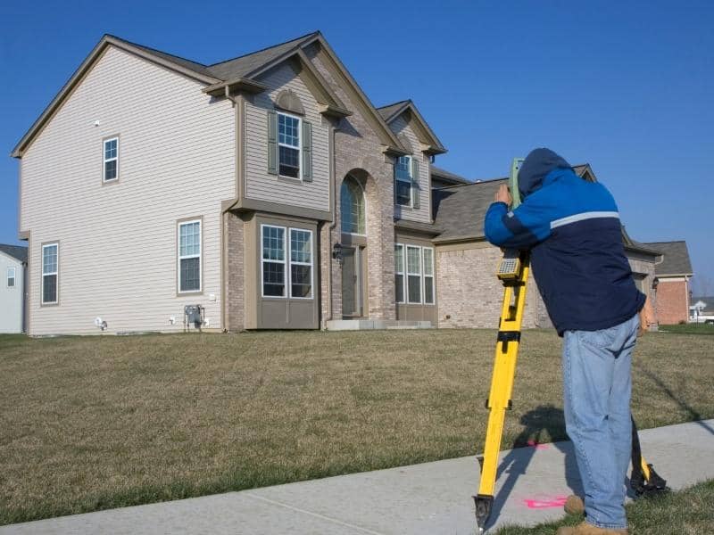
Step 2: The Field Visit
Once research is complete, the surveyor and their crew go to the property. This is the part most people picture when they think of a land survey.
Locating Existing Monuments
The first thing the field crew does is search for existing property corner monuments. These are the iron pins, concrete monuments, or other markers that were placed during previous surveys. Finding them is critical because they anchor the current survey to the historical record.
Some monuments are easy to find. Others have been buried, disturbed, or removed over time. The surveyor uses their research, specialized equipment, and experience to track them down.
Taking Measurements
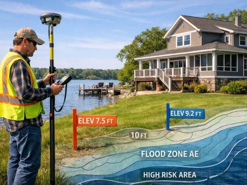
Once existing monuments are found, the crew takes measurements across the property using professional-grade equipment. Depending on the type of survey, this may include:
- GPS receivers that communicate with satellites to establish precise coordinates
- Robotic total stations that measure angles and distances electronically
- Data collectors that record every measurement digitally in the field
The crew measures distances and angles between known points to calculate the position of every boundary corner, structure, or elevation point needed for the survey.
Setting New Monuments
If existing corner monuments are missing or damaged, the surveyor will set new ones. This typically involves driving a metal rod or pin into the ground at the calculated corner location and marking it with a cap that identifies the surveyor’s license number.
These new monuments become the physical record of the boundary on the ground.
Step 3: The Office Work
After the field visit, the crew returns to the office with all their data. This is where raw numbers become a finished document.
Processing the Data
The surveyor enters all field measurements into specialized software that checks the math and calculates the exact position of every point on the property. If something does not add up, the surveyor may return to the field for additional measurements. This is normal on older or complex properties.
Drafting the Survey
Once data is processed, the surveyor creates the final drawing showing property lines, corner monuments, dimensions, bearings, easements, structures, and other relevant features. The licensed surveyor reviews the work, applies their stamp and signature, and takes professional responsibility for its accuracy.
Step 4: Delivery
The last step is delivering the finished survey to you.
A completed land survey is typically delivered as a digital file, a printed plan sheet, or both. Depending on the survey type, it may also be filed with the county recorder’s office to become part of the permanent public record.
What you receive depends on the type of survey ordered:
- A boundary survey produces a plat or survey map showing property lines, dimensions, and monuments
- A topographic survey produces a contour map showing elevations and site features
- An as-built survey produces a drawing showing all improvements as they were actually constructed
- An ALTA survey produces a detailed map meeting national title and lending standards
Your surveyor should be available to walk you through the document and explain anything that is not clear.
What to Expect as a Property Owner
Do You Need to Be Home?
No. The field crew works on the outside of your property and does not need access to the interior of any structures. However, it is helpful to let them know about any gates, fences, or locked areas that might block access to corners of the lot.
Will Anything Be Disturbed?
Surveyors are careful, but some minor disturbance can happen in heavily vegetated areas where crews need to clear brush to take measurements or set monuments. Any stakes or flagging placed in the ground are either permanent monuments or temporary field markers.
How Long Does It Take?
The total time from when you place your order to when you receive the finished survey depends on several factors:
- Property size and complexity. Larger or more complex properties take longer.
- Research difficulty. Properties with unclear deed histories require more time in the records.
- Surveyor workload. Busy seasons can extend turnaround times.
For a standard residential boundary survey, the typical timeline is one to three weeks. More complex surveys may take four to six weeks or longer.
Frequently Asked Questions
What if the surveyor finds that my property lines are different from where I thought they were?
This is more common than most people expect. The surveyor will explain the findings based on historical records and measurements. The legal boundary is what matters, not where a fence has stood for years.
Can I be present during the field survey?
Yes. The crew will be focused on their work, but a good surveyor is happy to answer questions on site. Being there is a good way to understand what is being measured and why.
Will the surveyor mark my property corners?
Yes. After placing or locating monuments, surveyors add bright flagging or wooden stakes nearby to make corners easy to spot. The flagging is temporary. The monument in the ground is the permanent record.
What if a neighbor disagrees with the survey results?
A licensed survey based on proper research and field measurement is the legal standard for establishing boundaries. Disputes may need review by another licensed surveyor or resolution through legal channels.

 Land Surveyors are professionals who make precise measurements to determine the size and boundaries of a piece of real estate. While this is a simplistic definition, boundary surveying is one of the most common types of surveying related to home and land owners. If you fall into the following categories, please click on the appropriate link for more information on that subject: